Is it possible to cycle around Reschensee?
Clockwise or counterclockwise, the loop around Lake Resia can be cycled. There are a many possibilities for the starting place:
- at the parking lot near the famous church tower of Altgraun
- in the village of Reschen
- at the parking lot in the south of the Reschensee
- cycle path Vinschgau from Mals
- Etsch cycle path from Reschenpass
Start at the parking lot near the church tower in the lake
We follow the gravel road to the south, continue around the kite spot - on our left the road and on our right the lake - continue to the dam. When the weather is nice, we have a fantastic view of the Ortler, the highest mountain in South Tyrol at 3,905 meters. We cross the dam wall and follow the asphalt bike path back north along the west bank of the Reschsee. The cycling path leads through woods and meadows with slight inclines to Reschen and there we again follow a gravel path back to the starting point.
In total there are 70 meters of altitude. Length of the tour: 15 km.
Who is the bike path around the Reschensee suitable for?
Ideal as a leisurely excursion for families or as a cycling introduction for gravel or MTB bikers. The bike path is not suitable for racing bikes because the lake circuit is only partially asphalted.
Vacation in South Tyrol
Our 4 recommendations for your vacation in the region
Bicycle Paths
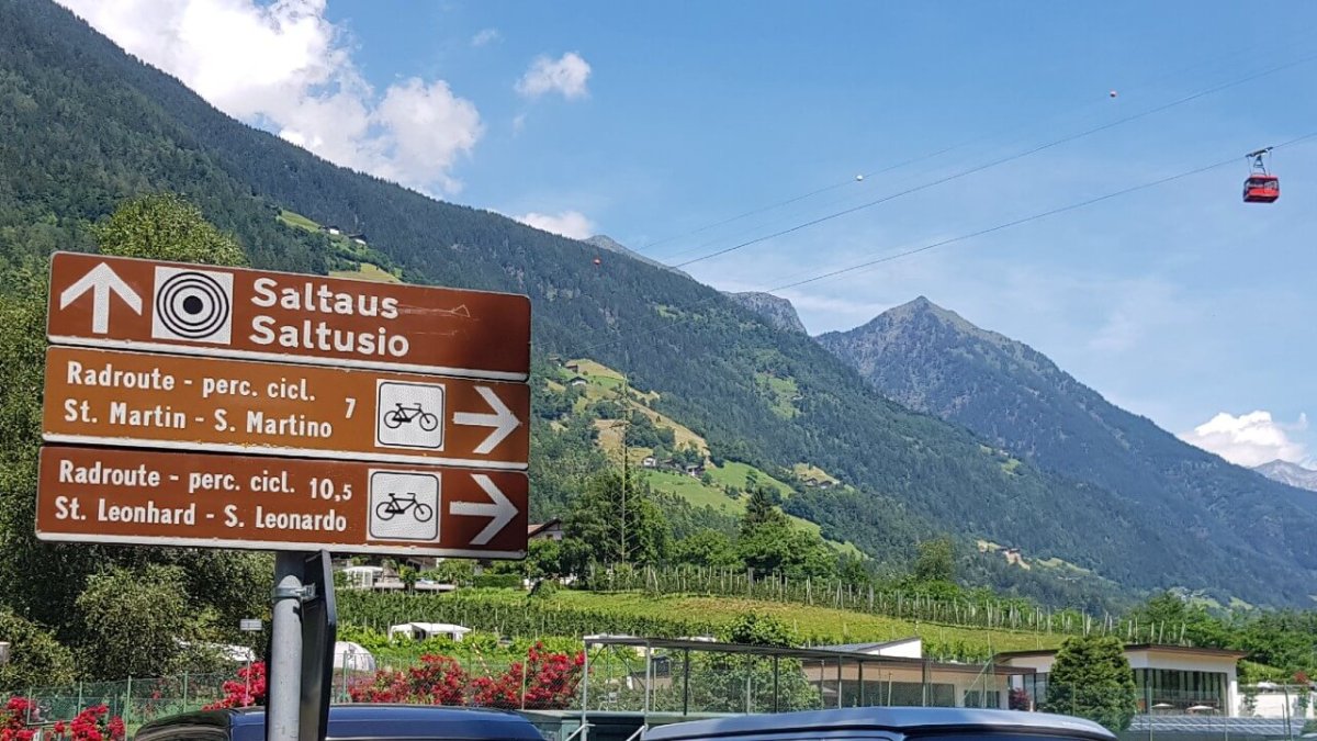
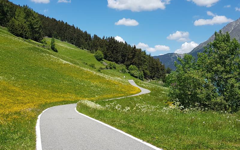
Discover the cycle paths around Bolzano, Merano, in the Vinschgau and Passeier Valley. South Tyrol offers over 400 km of cycle paths for families and sports enthusiasts.