Vinschgau Bike Path
Reschen Pass to Merano, part of the Via Claudia Augusta
Facts - Vinschgau Valley Bike Path
| Length: | ca. 86 km (Reschen to Meran) |
|---|---|
| Altitude: | ca. 1200 m (Reschenpass: 1.500 hm, Meran: 320 hm) |
| Duration: | ca. 4-5 hours |
| Difficulty: | medium |
| Recommended time: | March to October |
| Ideal for road bike: | in parts |
Bike transport in 2026: Vinschgau Railway and Bikeliner
Last updated: June 22, 2026. Following electrification, the Vinschgau Railway is being brought back into service gradually and is still operating a limited timetable. Trains between Meran and Laas generally run every hour. Seven train pairs operate daily between Laas and Mals, with selected direct services between Meran and Mals. Bicycles can only be taken on regional trains when sufficient space is available. Reservations are not possible and a valid bicycle ticket does not guarantee carriage. Bicycles are not allowed on B250 rail-replacement buses.
From April 18 to October 4, 2026, a reservable Bikeliner minibus with bicycle trailer supplements the train service. It departs daily from Meran railway station, bus stop B, at 9:10, 10:10, 15:10 and 16:10, and from Mals railway station at 7:00, 12:00, 13:00 and 18:00. Intermediate stops at Naturns, Latsch, Schlanders and Spondinig are for drop-off only; boarding is not possible.
Each service has 14 reservable spaces for standard bicycles and e-bikes. Tandems, cargo bikes and bicycle trailers cannot be transported. Reservations can be made until 18:00 on the previous day; services from Mals to Meran require advance booking. Please arrive at the bus stop at least 15 minutes before departure. A bicycle ticket is required in addition to the passenger ticket. The bicycle day ticket costs €7.50, or €3.50 with a südtirolmobil Pass.
Important when planning the complete route: the railway and Bikeliner only travel as far as Mals, not to the starting point at the Reschen Pass. To ride the entire route from Reschen to Meran, you need a separate shuttle for the journey to Reschen or a rental bicycle from Lake Reschen.
Current train, Bikeliner, ticket and fare information
Reserve the Bikeliner and a bicycle space
Bike shuttles to the Vinschgau Valley and Reschen Pass
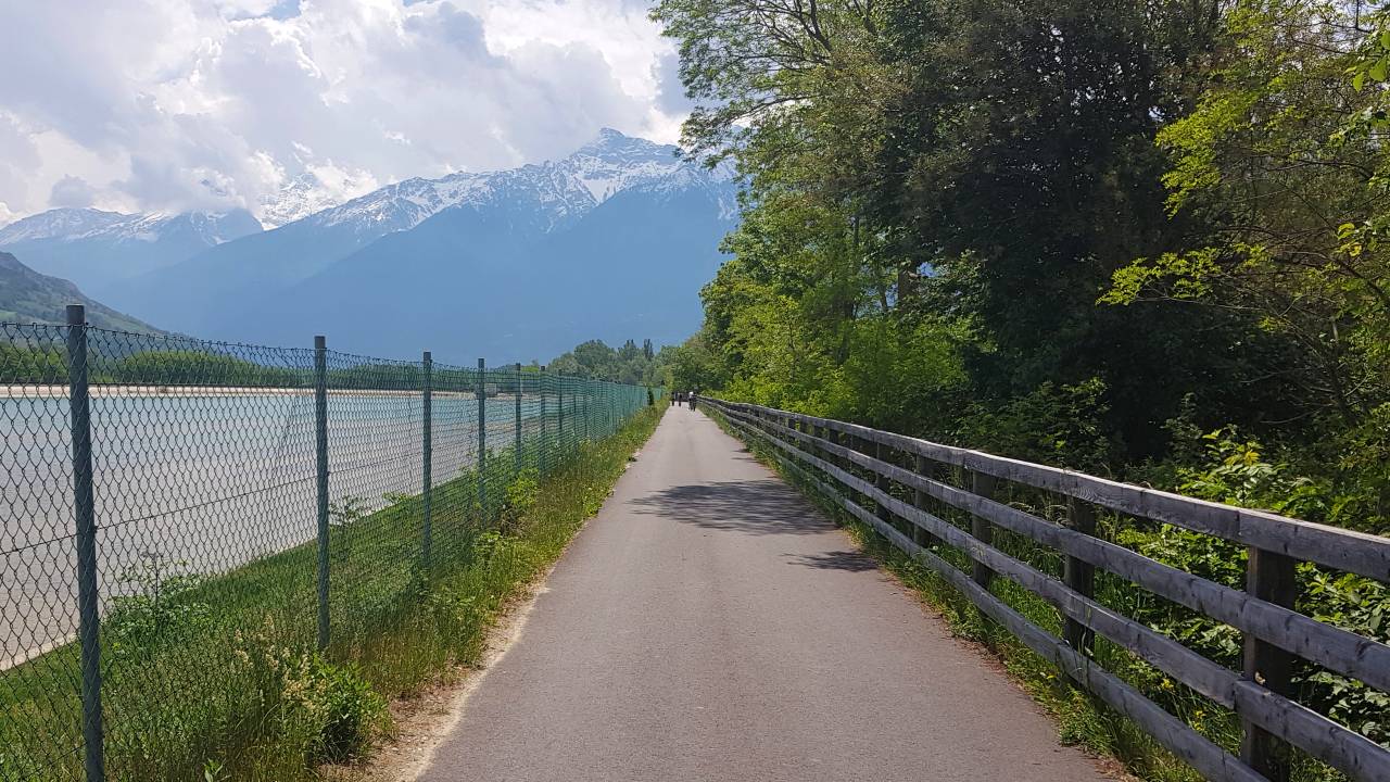
Start at the Reschen Pass
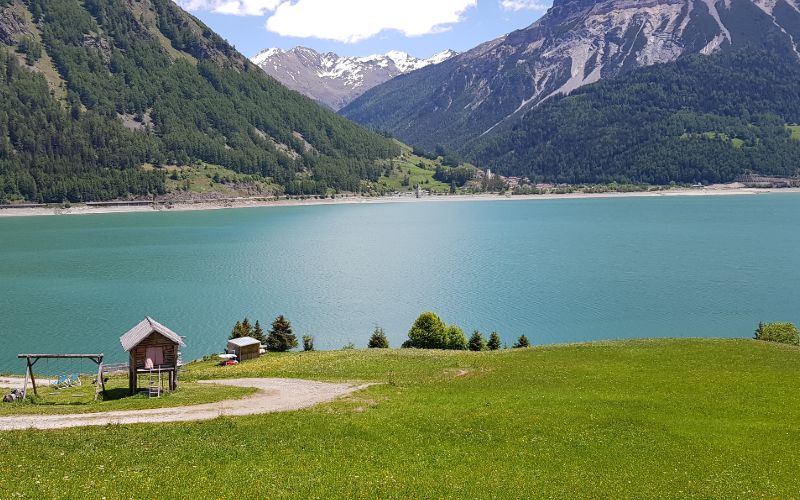
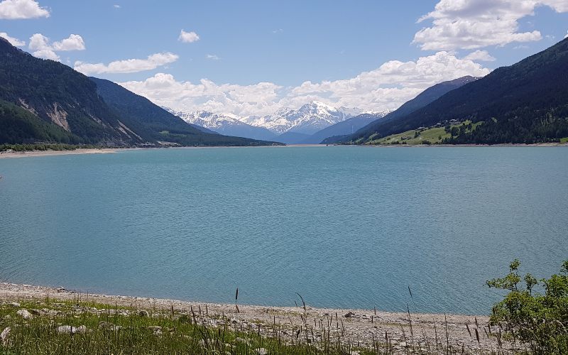
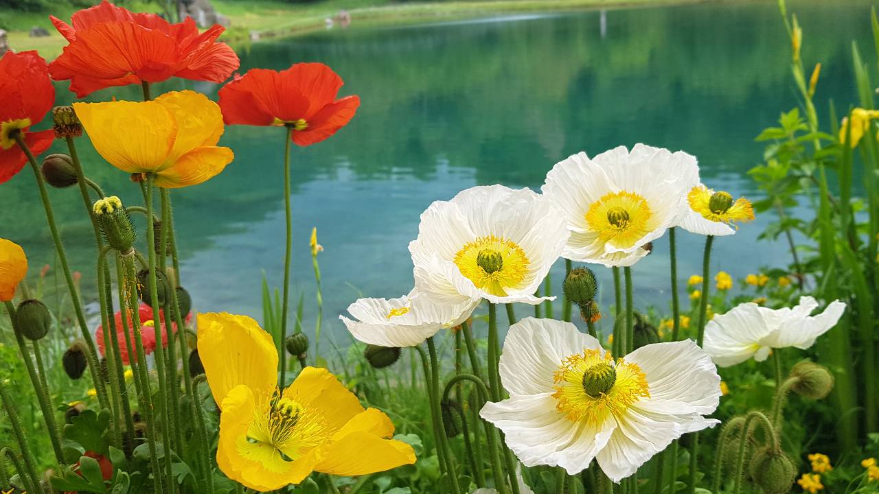
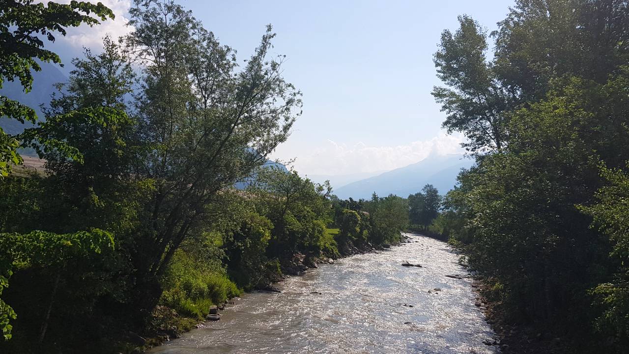
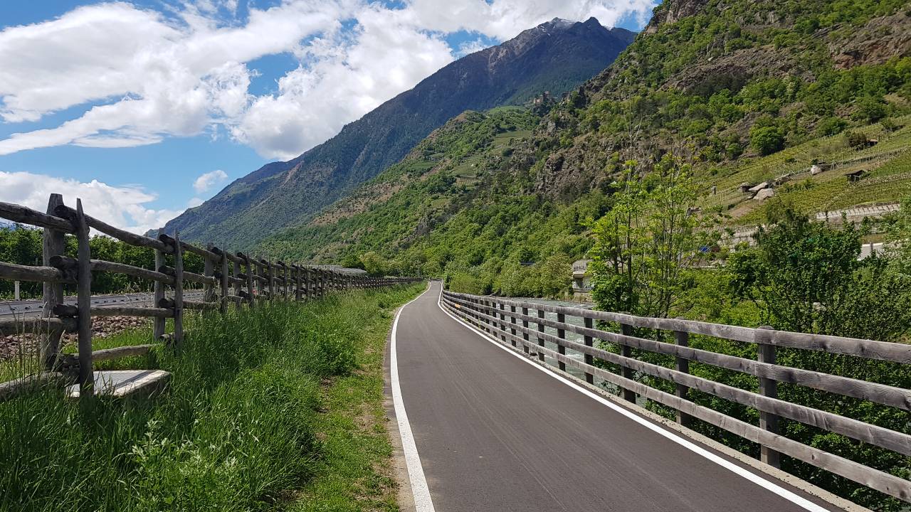
The starting point of this bike tour is Reschen, which is at the northern tip of the beautiful Reschensee lake. This lake is one of the most important reservoirs in the Vinschgau Valley, as it was created after the end of the Second World War. Before Lake Reschen was built as a reservoir, the small village of Graun was located in this valley. To this day, the church tower rises out of Lake Reschen and many tourists take advantage of the ride on the Vinschgau to Merano cycle path to experience this tourist attraction. The Vinschgau to Merano cycle path continues along the left side of Lake Reschen, where bikers can enjoy the gigantic view of the mountain Ortler. Ortler is the highest mountain in Tyrol.
The trail continues towards the spa town of Merano to Burgeis. It winds idyllically along the right bank of Lake Haider and offers cyclists magnificent views of Lake Haider and the Vinschgau Valley. A special spectacle is offered at this point on the way to Merano by the Adige-Etsch River, which flows through Lake Haider here and plunges steeply over rock formations into the valley.


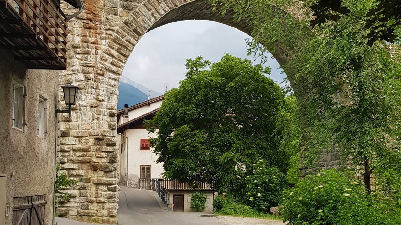
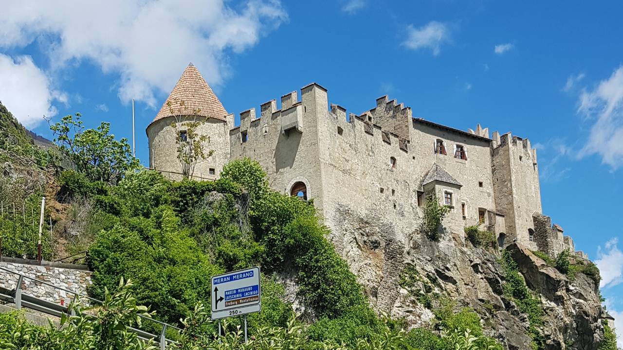
Mals - Glurns - Prad at Stelvio
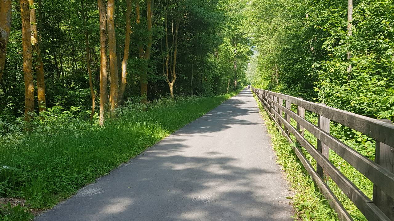
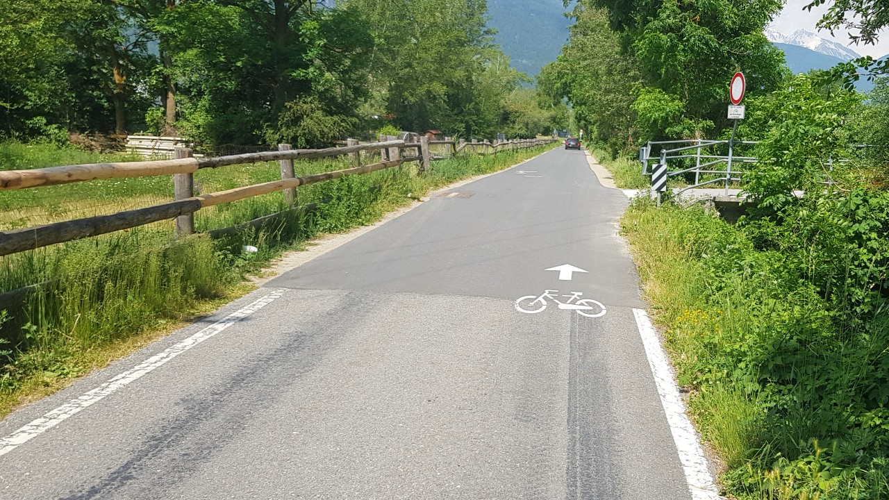
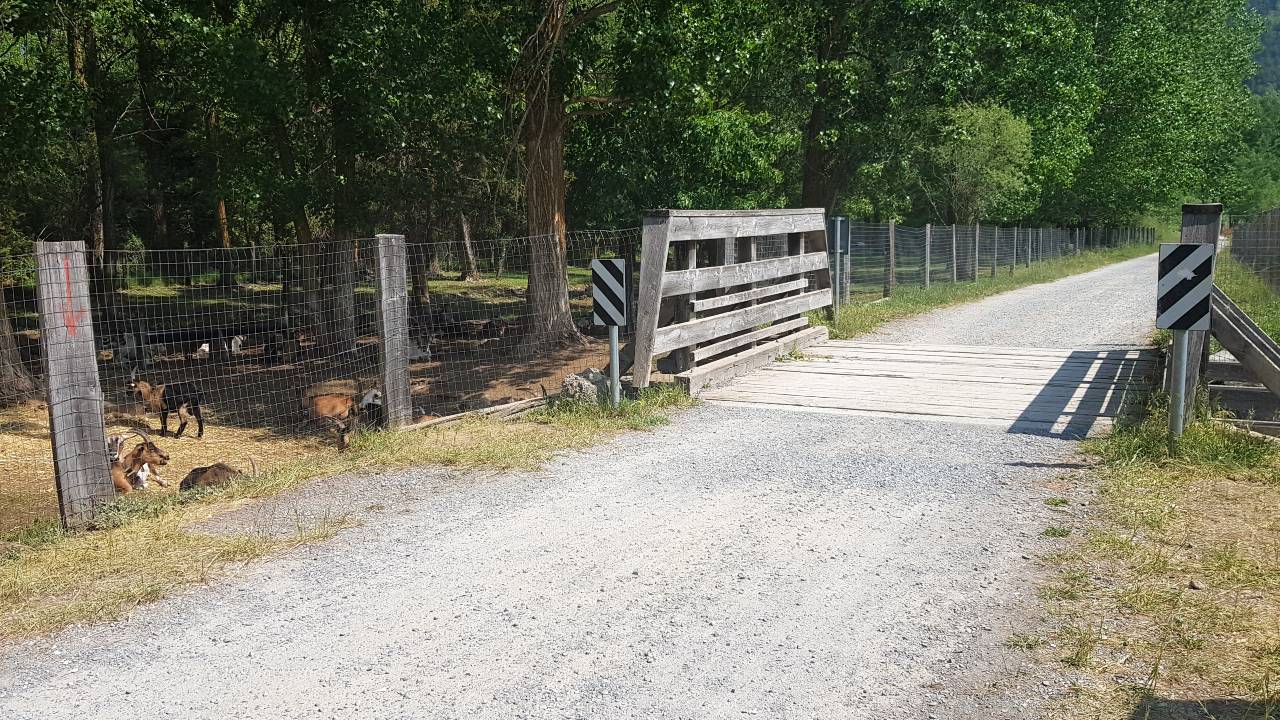
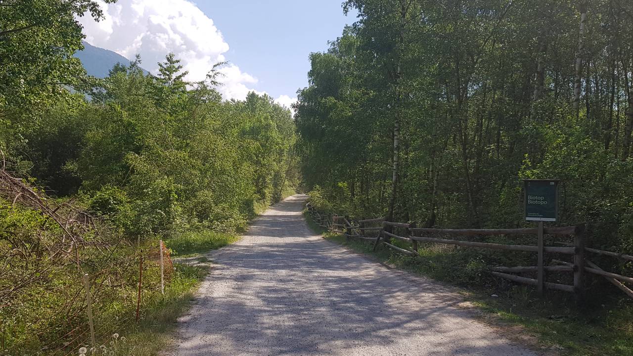
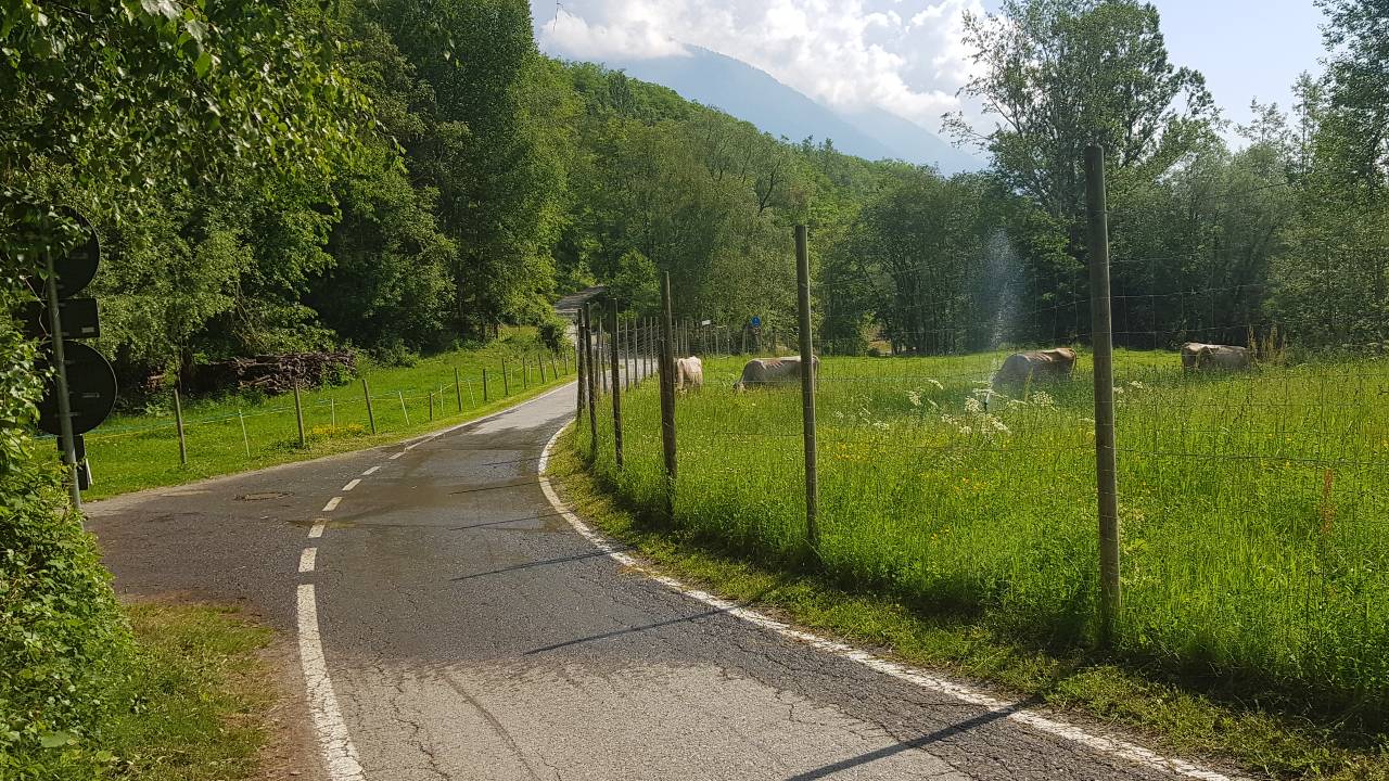
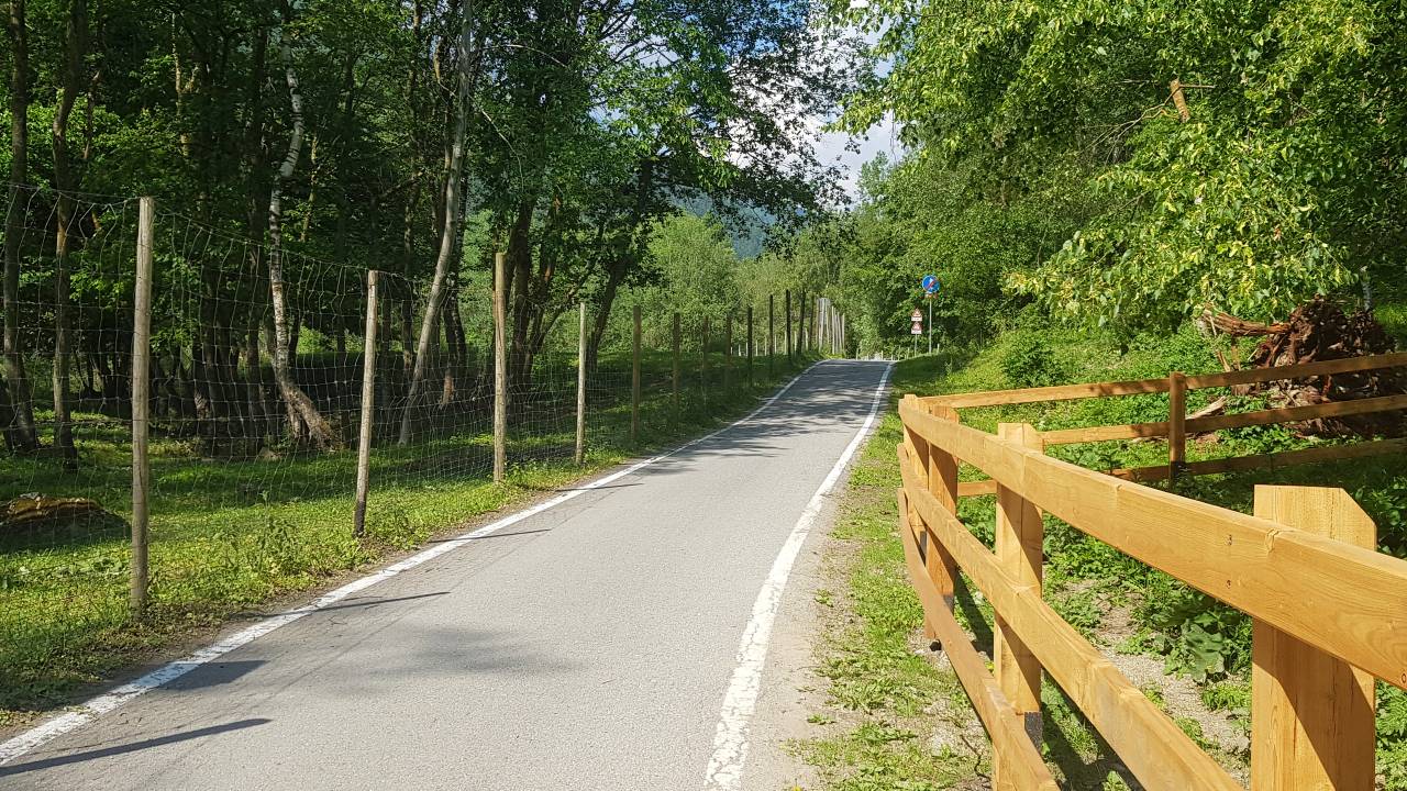
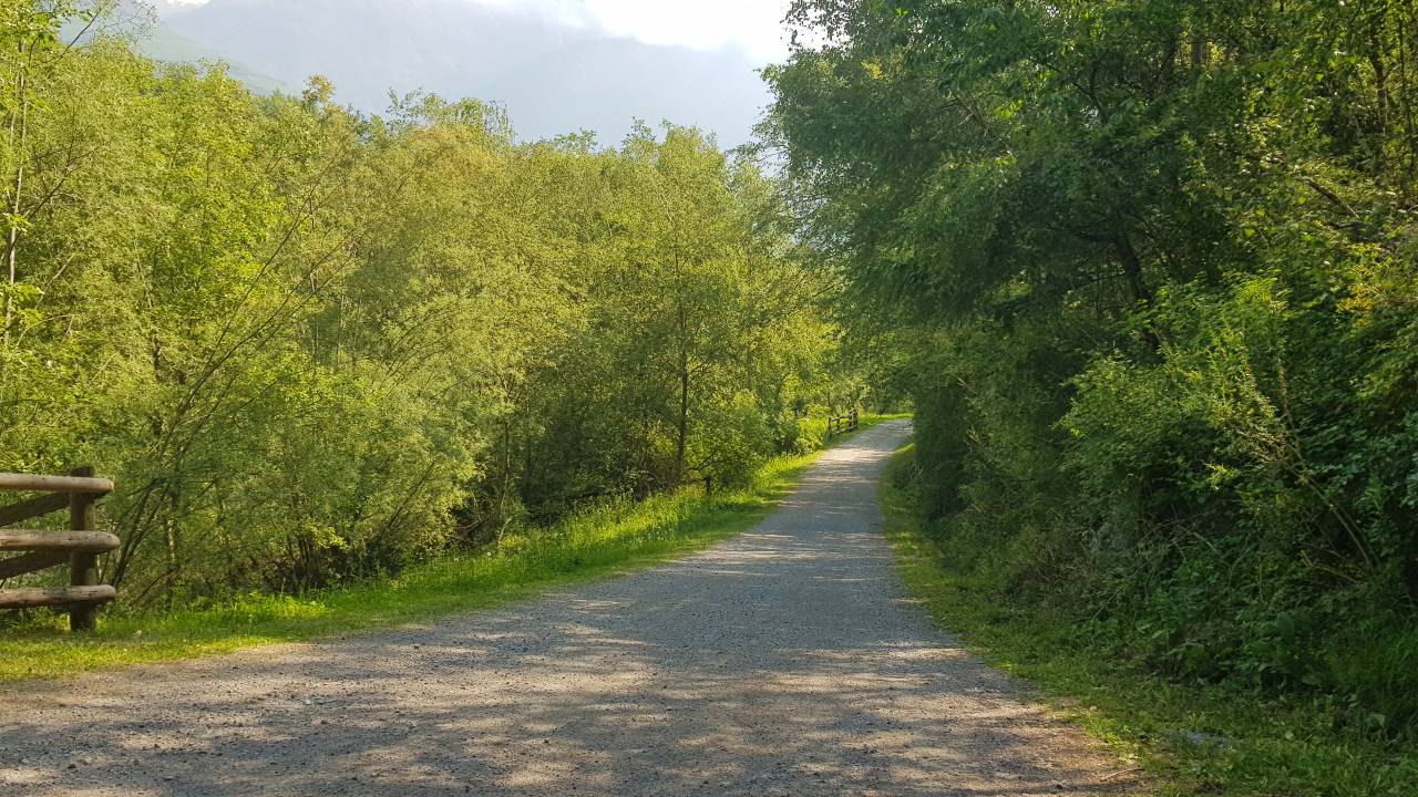
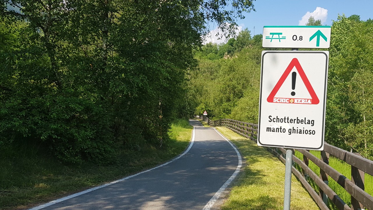
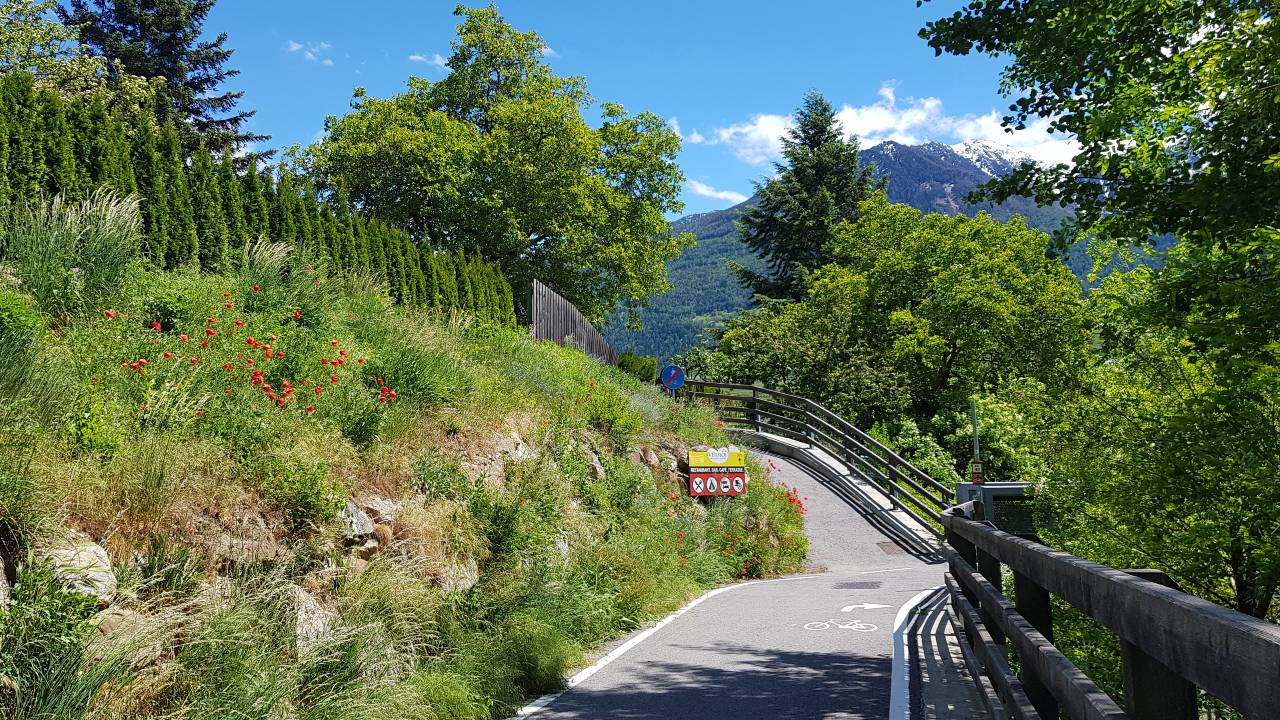
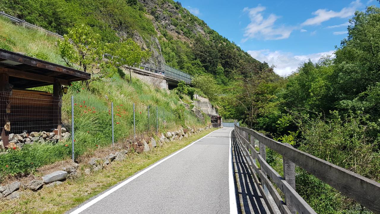
At the Mals train station, the bike path leads to Laatsch and along the Etsch to the smallest city in South Tyrol: the medieval town of Glurns with its completely preserved city walls. The bike path continues along the Etsch towards the Prader fish ponds, on a comfortable route past a reservoir through cabbage meadows and a shady forest area. Arriving at the fish ponds in Prad (recommended stop!), the "Prader Sand" is crossed. This is a biotope: dry floodplain and river delta of the Suldenbach. Accordingly, there is no asphalt here, but gravel. Passionate road cyclists can detour before the fish ponds in Prad via the industrial area and cycle on the road towards the eastern exit of the village.
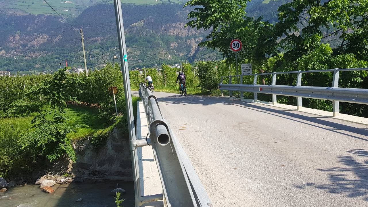
Upon reaching the village exit of Prad at the Stelvio Pass, the bike path continues on an asphalted meadow path to Tschengls. Cyclists only have to share the Prad-Tschengls section with a few cars and agricultural vehicles.
Recommended stop: Gasthof Grüner Baum in the middle of Glurns.


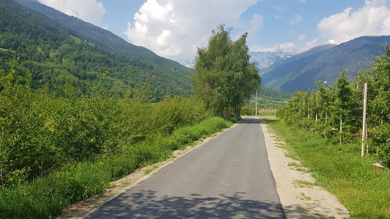
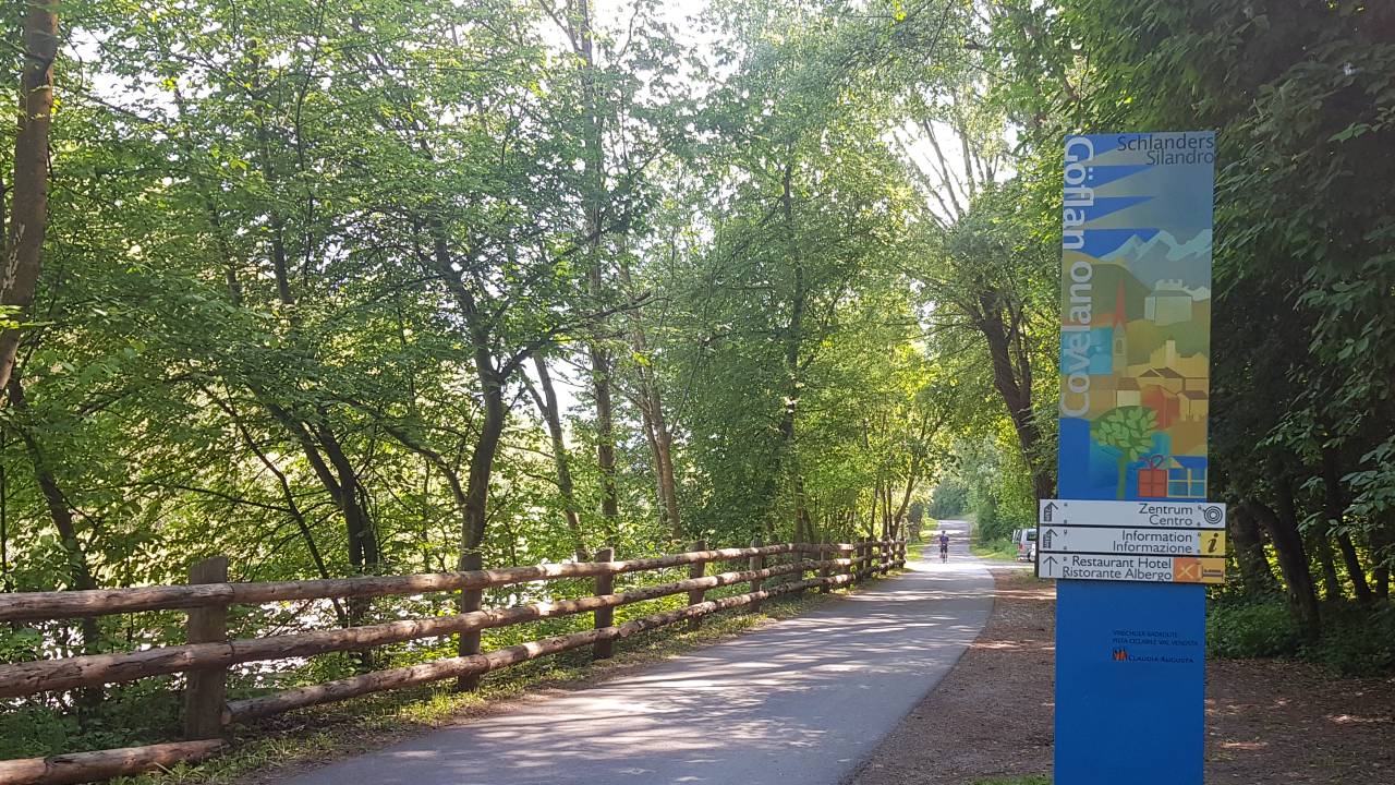
Tschengls - Laas - Göflan
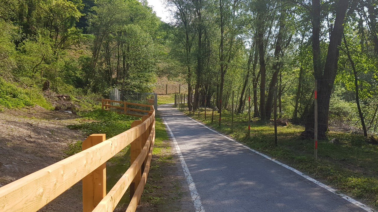
Heading towards Tschengls, the bike path ascends slightly and turns off below the village with Tschenglsburg, onto a gravel path (Auweg) with a nice forest. Road cyclists can bypass this and take the route through the village of Tschengls.
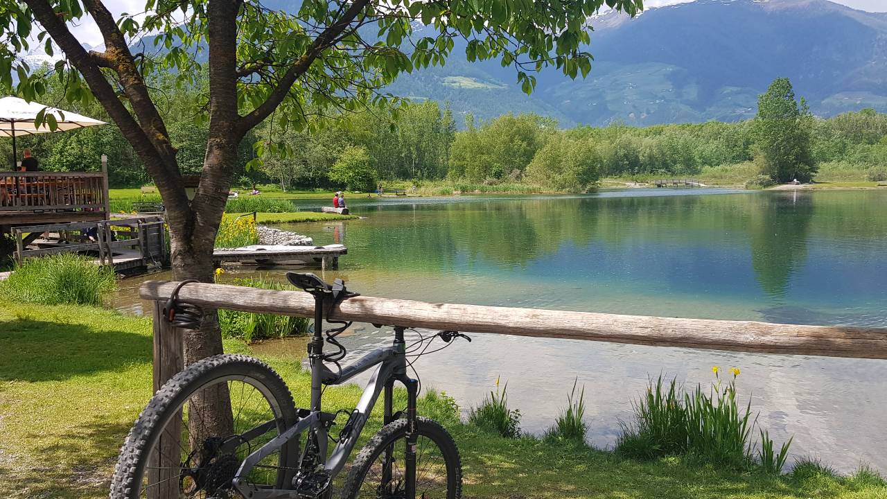
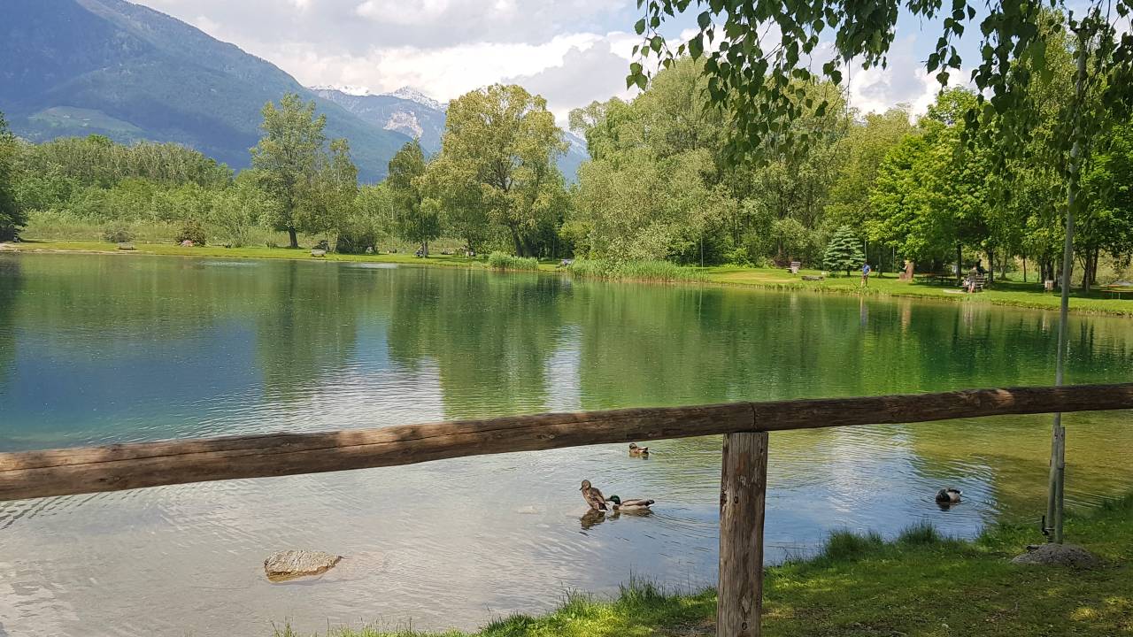
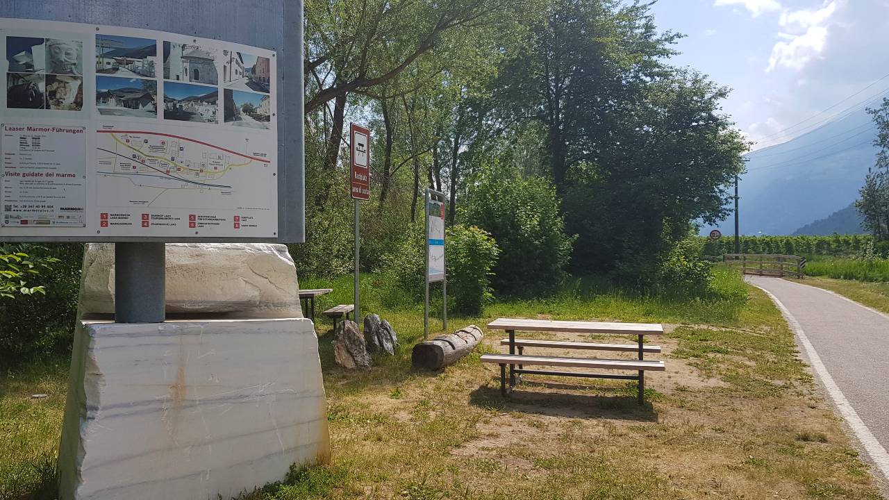
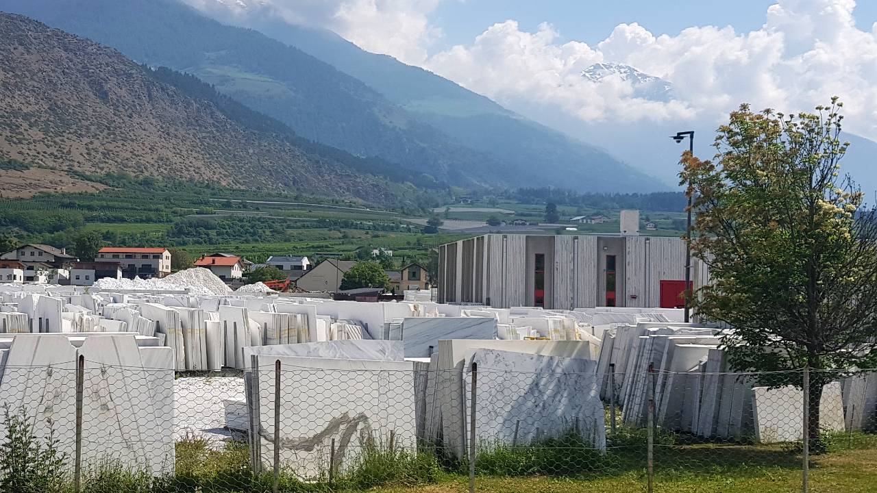
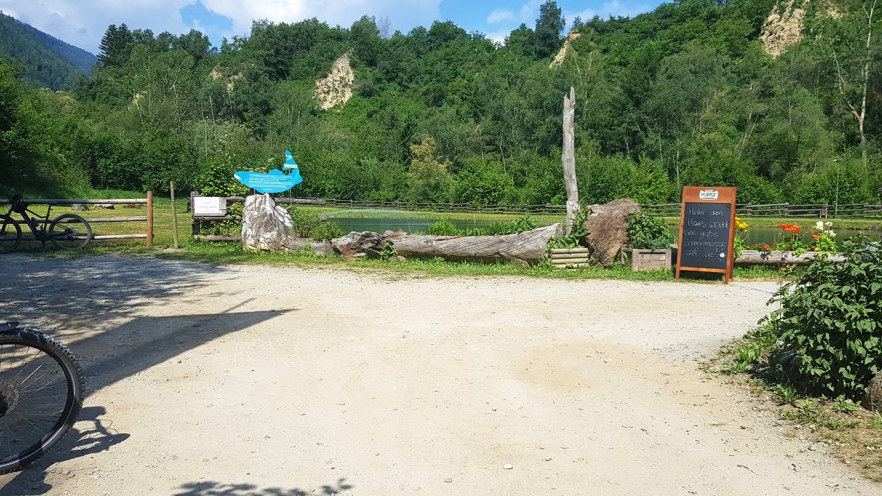
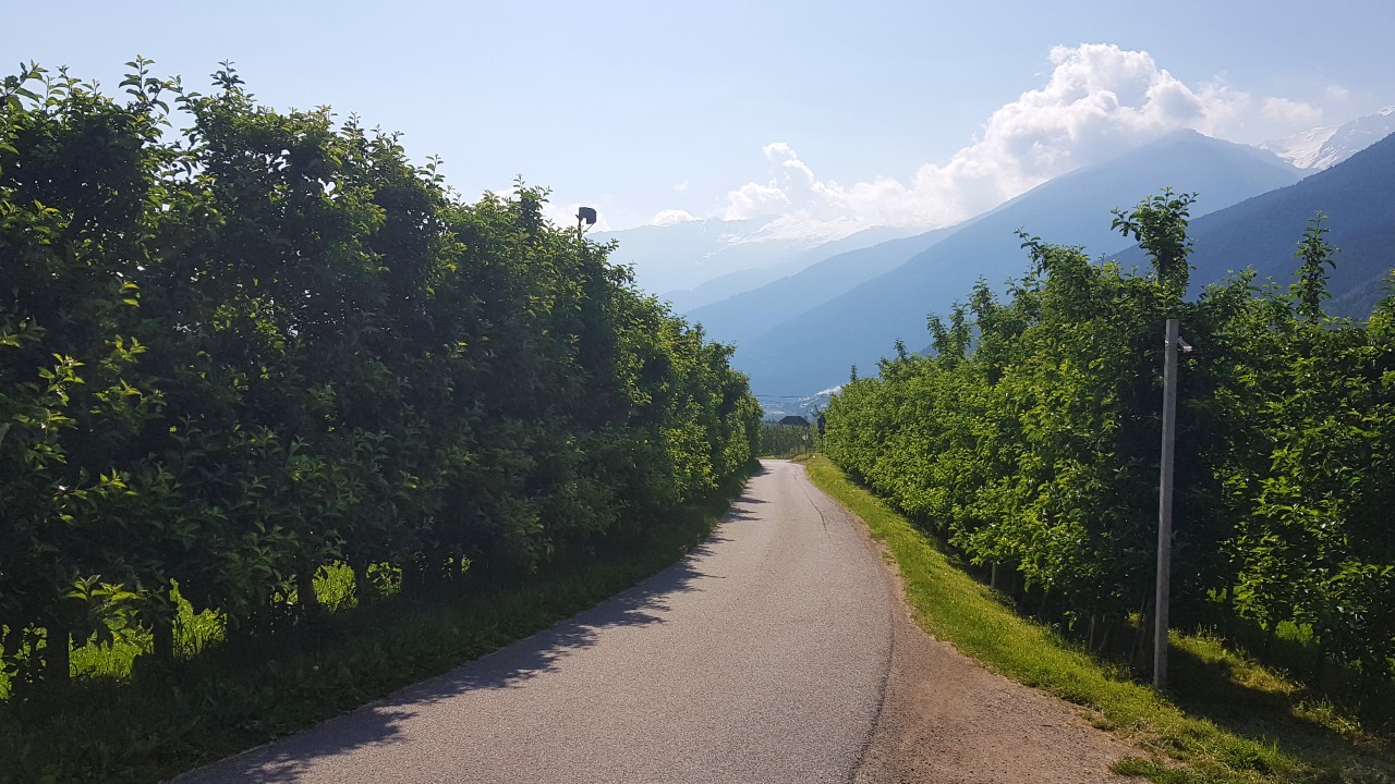
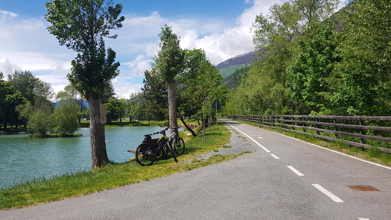
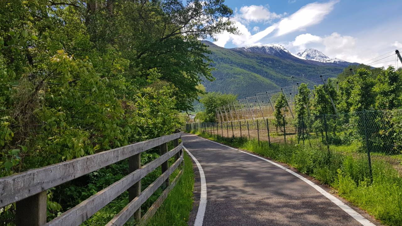
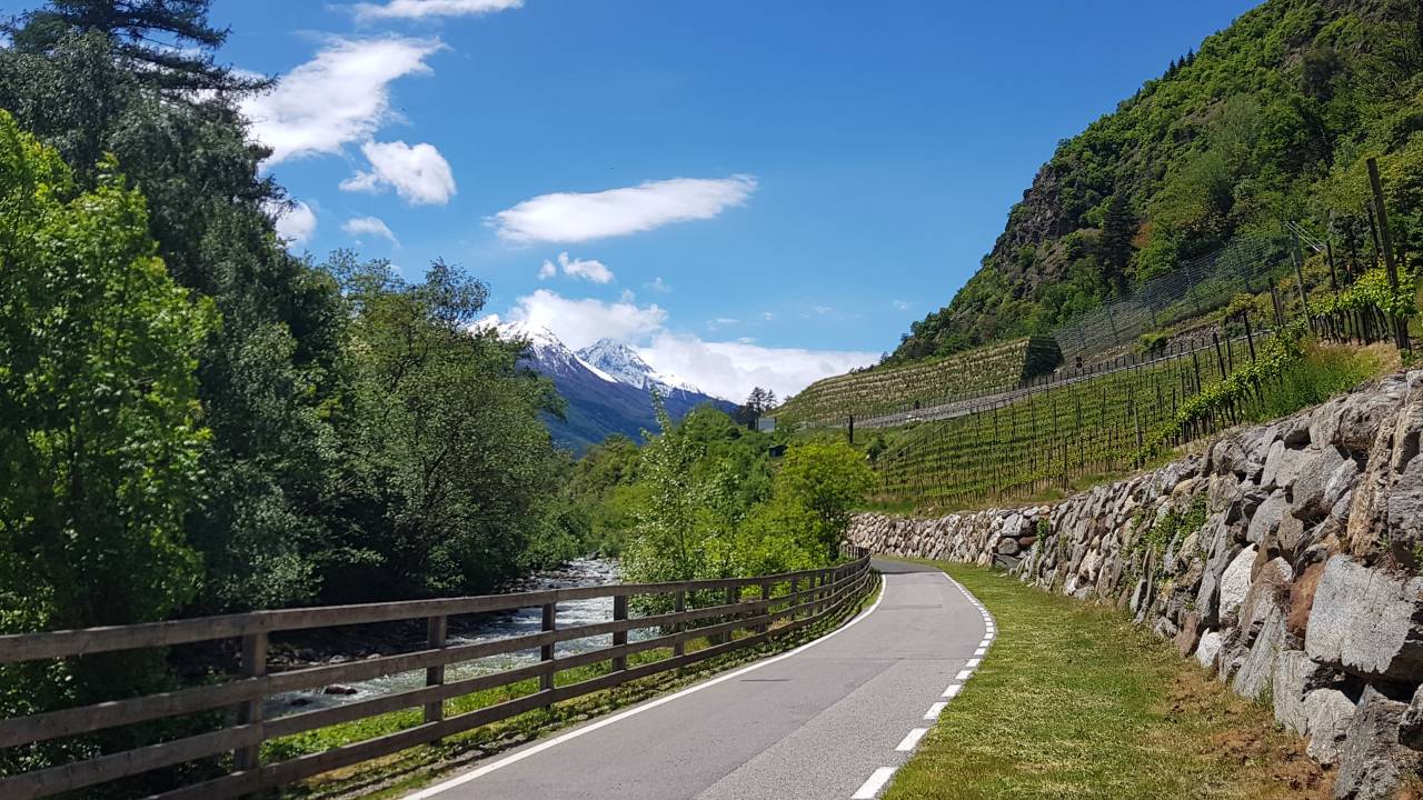
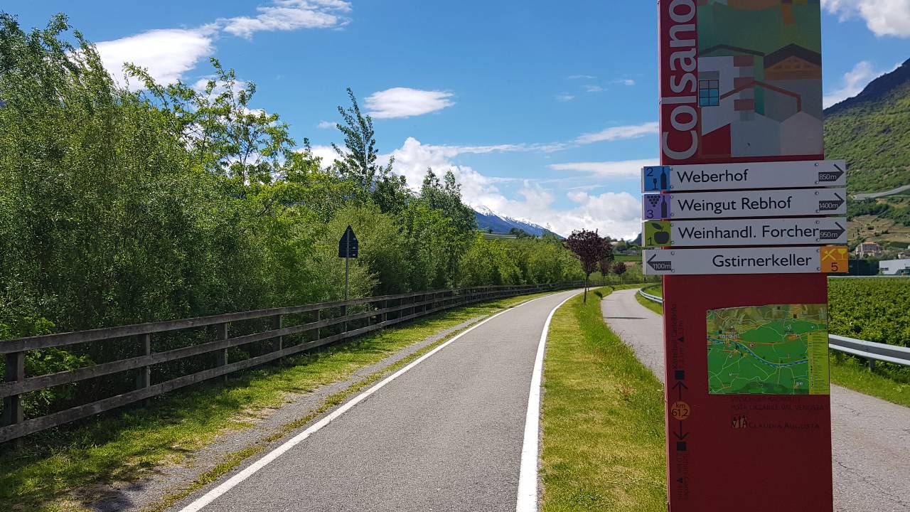
The climb is rewarded with a short descent to Eyrs. Upon reaching the bridge, the bike path continues straight along the Etsch into the village of Laas. The marble of Laas is known worldwide for its unique purity. After passing through Laas, the route heads towards a forest and again follows a gravel section. After a short climb, the Vinschgau bike path leads downhill to the beautiful village Göflan. The risk of falling on gravel is high, therefore a moderate speed downhill is recommended. In the Laas-Göflan section, there is a fish pond with the bike meeting point Brugg (recommended stop - delicious!). The bike path continues on asphalt past a playground towards the village center, then on a paved field path through apple orchards to Goldrain and Latsch.
Recommended stop: Brugg at the fish pond (Kortscher Ficherteich).
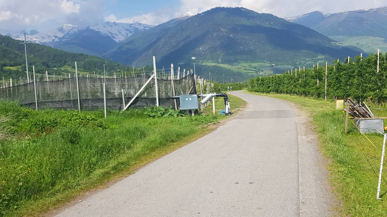


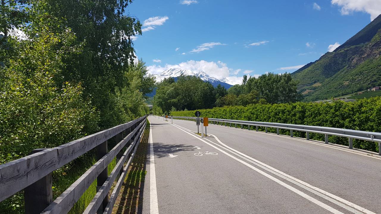
Goldrain - Latsch - Naturns
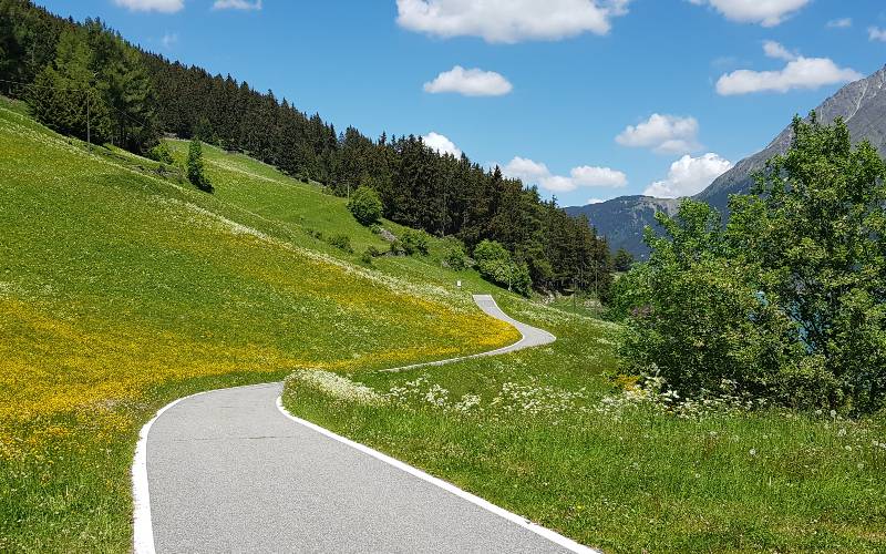
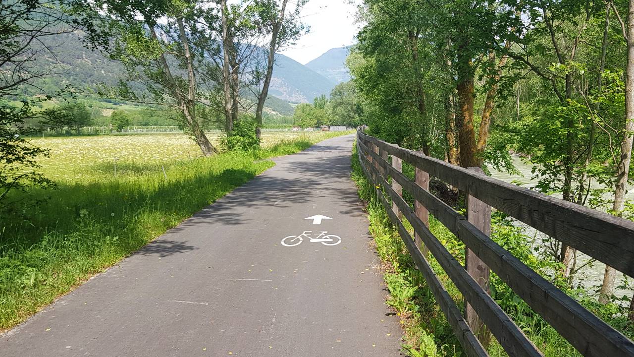
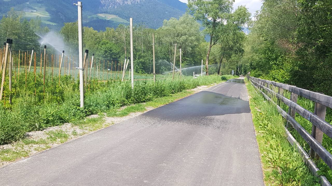
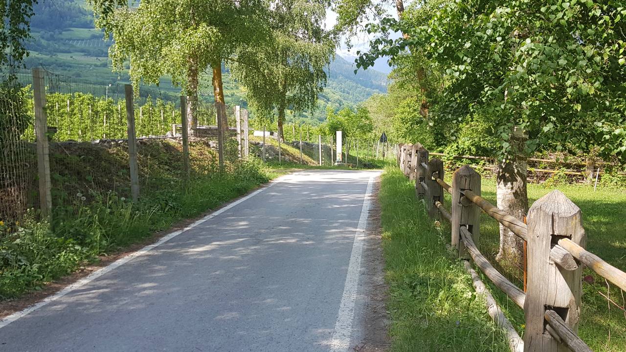
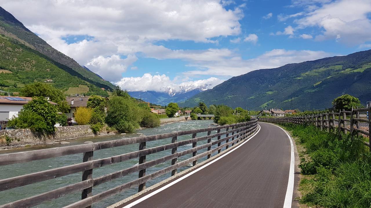
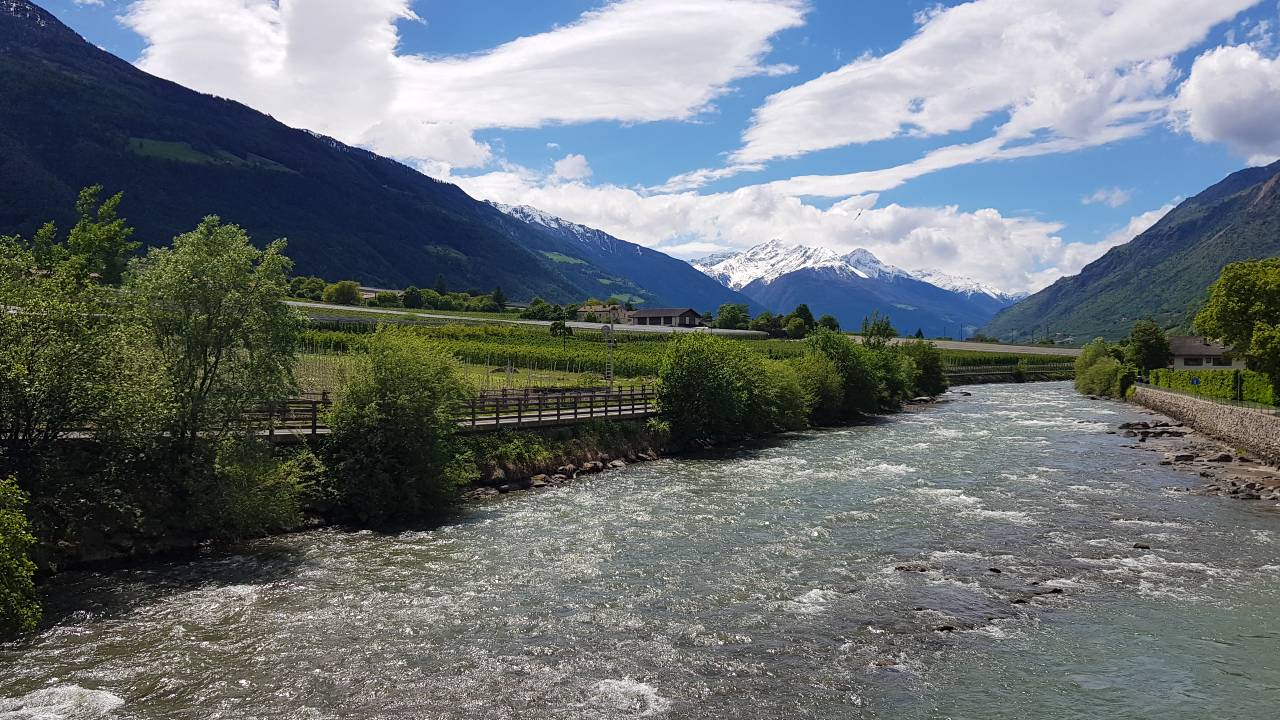
The cycle path from Malles to Merano has been extended more and more in recent years and now only has to be shared with motorised vehicles in sections. In the section between Silandro - Goldrain, cyclists no longer have to take the route from Silandro via Morter, but can continue cycling from Silandro on a flat stretch to Goldrain. Passing the Goldrain lake, the route continues to Latsch (Laces), where cosy bars invite you to take a break. The route continues past the St. Martin cable car, where the cycle path once again follows the course of the Etsch River and so it goes leisurely past Kastelbell Castle, through orchards to Tschars, on to Staben with Juval Castle and to the popular holiday resort of Naturno. From Naturno, the cycle path leads - always along the Etsch River - to Plaus, Rabland and to Töll, the beginning of the Merano valley basin.


The cycle path continues through the beautiful landscapes of the Vinschgau Valley through a wide valley to the medieval town of Glurns. The town towers and the accessible town wall are definitely worth seeing in Glurns.
The tour continues through the Vinschgau Valley past numerous apple orchards to Merano. The 80-kilometre journey of discovery through the Vinschgau Valley ends here. The cycle path from Mals to Merano has a new course. In May 2011, the cycle path section between Silandro - Goldrain was completed and ceremoniously opened. Bikers no longer have to take the route from Silandro via Morter, but can continue cycling from Silandro on a flat stretch to Goldrain. From Goldrain the route continues to Latsch, where several restaurants invite you to take a break. The route continues through the centre of Laces to the entrance to the village in the east, where the cycle path follows the course of the Adige river again and so it goes leisurely past Castelbello-Kastelbell Castle, through orchards to Tschars, on to Staben with Juval Castle and to the popular holiday resort of Naturno-Naturns. From Naturno, the cycle path leads - always along the Adige River - to Plaus, Rabland and to Töll, the beginning of the Merano valley basin.
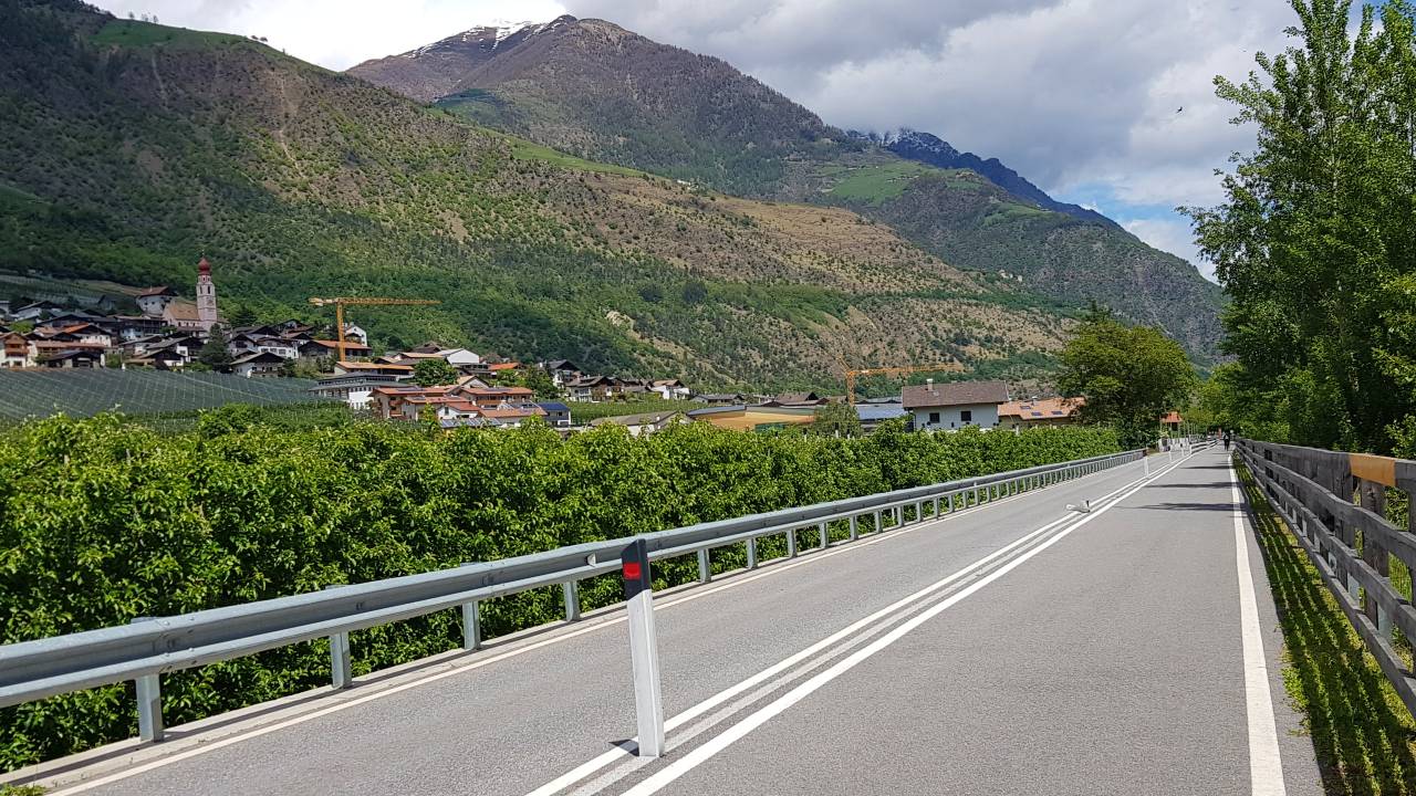
Naturns to Meran
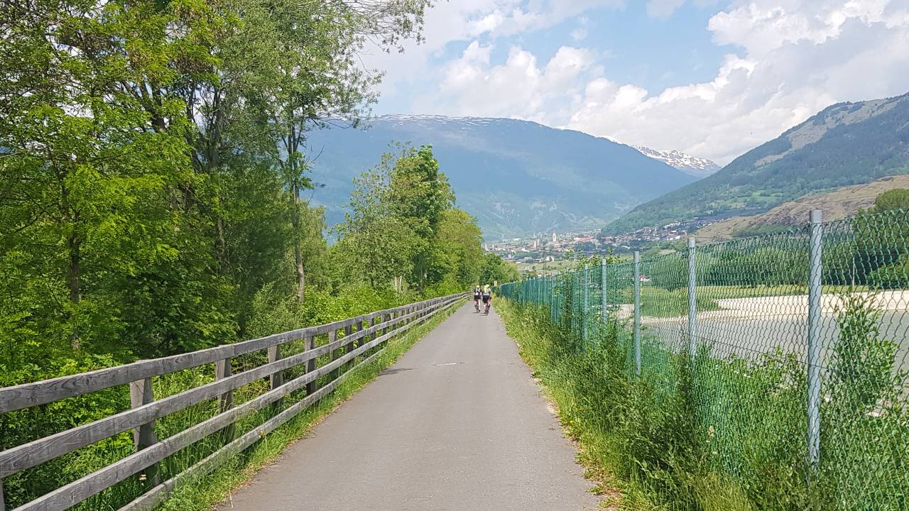
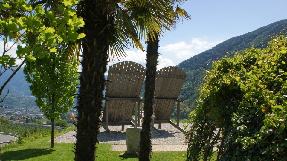
The stage from Naturns to Meran continues along the Etsch, passing idyllic villages such as Plaus, Rabland, and Töll. In Töll, one safely crosses the main road using an underpass, before descending towards Algund. Along the bike route, a rest stop at the big chairs is recommended – a perfect spot to enjoy the panoramic view of Algund, Dorf Tirol, Meran, Schenna, and the expansive Etschtal valley. There, you can also find a water point to refill your water bottle(s).
The journey on your bicycle continues towards Algund, always at a controlled speed and without strain. Before reaching Algund, you pass by the miniature golf course and the swimming pool of Algund, while on the right side of the Etsch, the Forst Brewery is visible. At the Algund swimming pool, the bike path initially follows along the expressway, but then reaches an and erpass leading to the Lido Merano. There, one crosses the Passer River over a bicycle bridge and continues on the bike path towards Bolzano (open Meran-Bolzano bike path), passing Schenna - or one can head towards the city center of Meran to enjoy a well-deserved aperitif. Additionally, there is the option to continue from the center of Meran into the Passeiertal valley (open Passeiertal bike path).
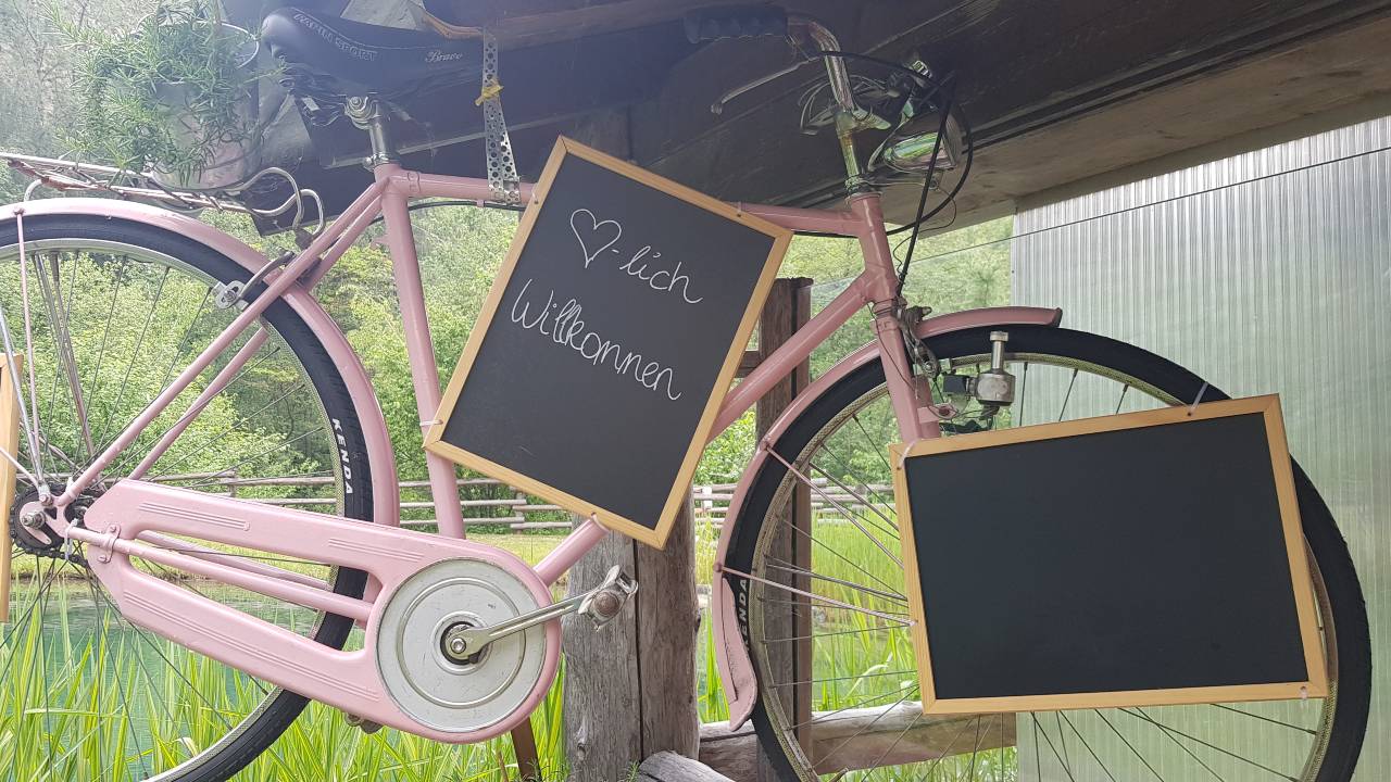
Refreshment stops at the cycling path
Along the cycle path from Reschen to Meran, numerous rest stops await cyclists' discovery. From cafes and restaurants to grill spots and beer gardens, there's a perfect pit stop for everyone to refuel or simply enjoy the view. Whether you're taking a break in historic inns in Glurns or refreshing yourself with a cool drink in Algund, the variety of stopping points along the route makes your bike tour through the Vinschgau an unforgettable experience.
Here we have listed some beautiful spots, with a link to a map, so you don't miss any stops. Please check locally for opening hours.
- Glurns:
- Flurin – Café and Restaurant Google Maps
- Grüner Baum Google Maps
- Prad am Stilfserjoch:
- Fischerteich – Grillplätze, Café and Restaurant Google Maps
- Laas-Göflan:
- Radtreff Brugg am Kortscher Fischteich – Café and Restaurant Google Maps
- Göflan:
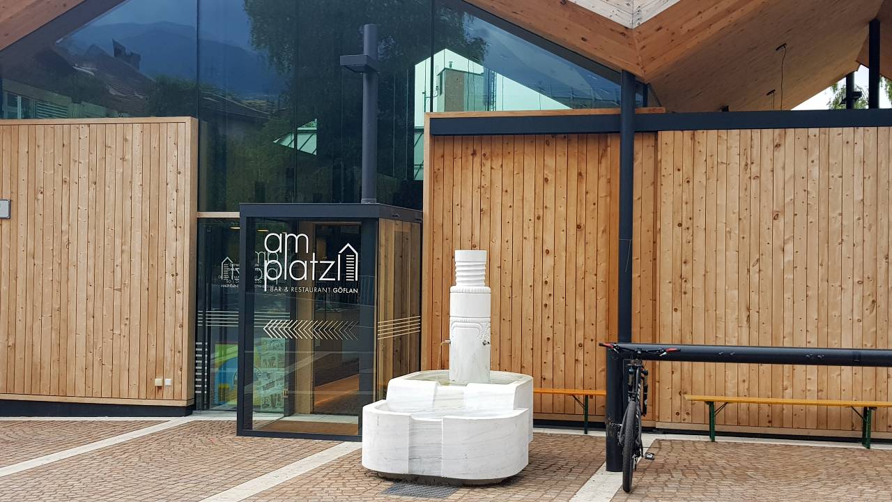
- Am Platzl – Café and Restaurant Google Maps
- Kastelbell
- Seeber am Dorfplatz – Café and Restaurant Google Maps
- Latsch:
- Bar Seilbahn – Café Google Maps
- Staben:
- Radbar Google Maps
- Naturns:
- Bar Sanzeno – Café Google Maps
- Mein Beck – Café and Bäckerei Google Maps
- Plaus:
- Hochwart – Café and Restaurant Google Maps
- Alpenblick – Café and Restaurant / Pizzeria Google Maps
- Rabland:
- Beachbar Google Maps
- Algund:
- Minigolf Google Maps
- Schwimmbad – Café Google Maps
- Forst – Biergarten Google Maps
Ratings
Vinschgau Valley Cycle Route: 4,10 / 5,00
135 ratings
Cycle map - Vinschgau Valley
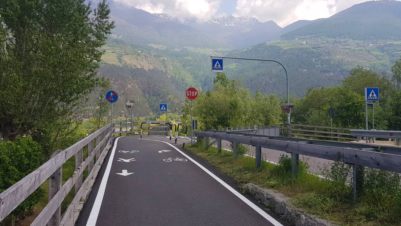
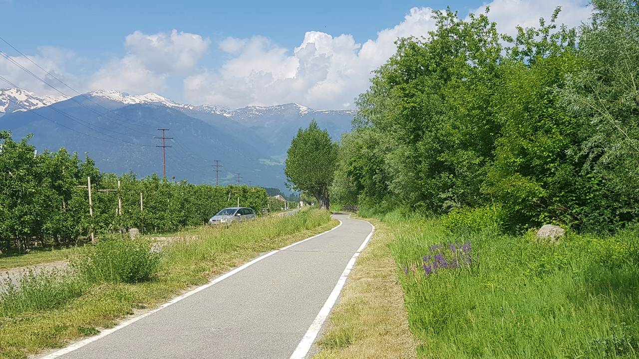
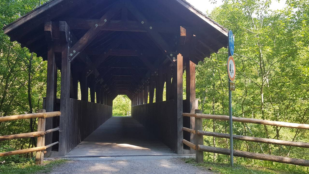
The bike path through the Vinschgau Valley is very well signed and runs for the most part along the Adige River (see Adige Cycle Path). A GPS device is not required.
Download GPX-File (304,49 KB)Vacation in South Tyrol
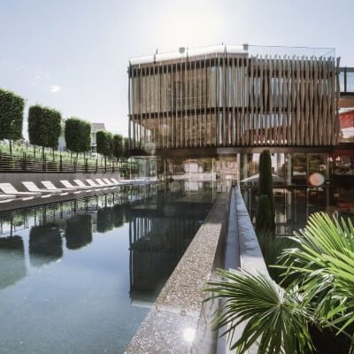
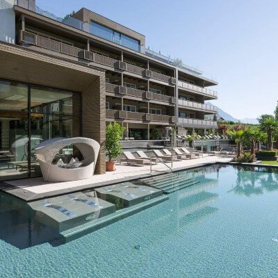
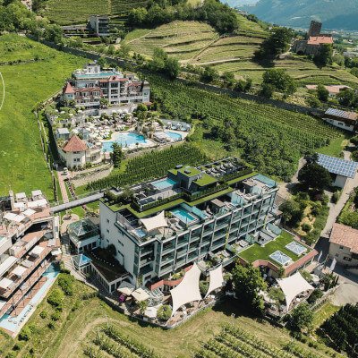
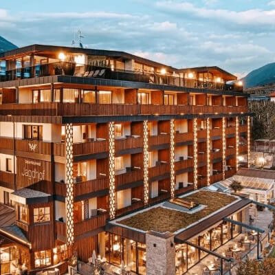
Our 4 recommendations for your vacation in the region