MTB tours
The number of MTB trails and the ongoing bike season make Merano a MTB paradise. open details
A region where you can be active and diversify your day. Leave the daily grind behind and do something good for yourself and your body.
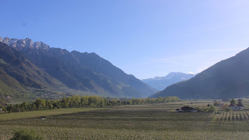
A mild climate, endless bike routes and one of the longest cycling seasons in the Alps. Merano is a cycling paradise for good reason.
Merano offers one of the longest cycling seasons in the entire Alpine region, running from mid-February to mid-November.
From the easy Adige Cycle Path to demanding MTB trails and road cycling classics over mountain passes. There is a route for every level.
At 300 m above sea level, Merano enjoys exceptionally mild, sunny weather thanks to its sheltered valley setting.
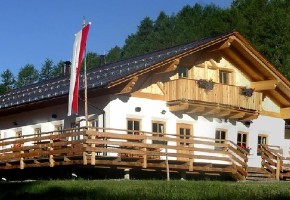
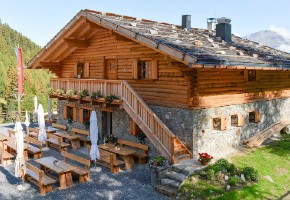
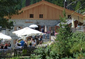
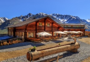
Mountain huts within easy reach invite you to stop and refuel. Accessible by e-bike, MTB or on foot.
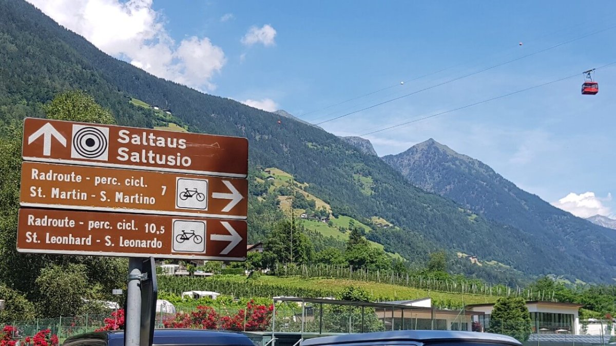
The Vinschgau railway and South Tyrolean trains make one-way tours a breeze. Ride in one direction and take the train back.
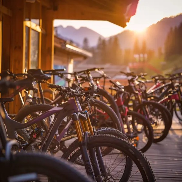
Almost every train station in the region has a bike rental. Perfect for spontaneous day trips without bringing your own bike.
Mountains, wine, and pedal power! Where else can you work up such an elegant sweat while being surrounded by breathtaking Alpine panoramas? Cycling between apple strudel and grappa. Ready, Set, Pedal! South Tyrol awaits you.

Merano has one of the longest cycling seasons in the Alps. From the apple blossom in February to the golden autumn colours in November.
February to May
While snow still covers the mountain peaks, over 18,000 hectares of apple orchards transform Merano into a sea of white and pink blossom. Early season, few tourists, perfect temperatures.
Discover apple blossom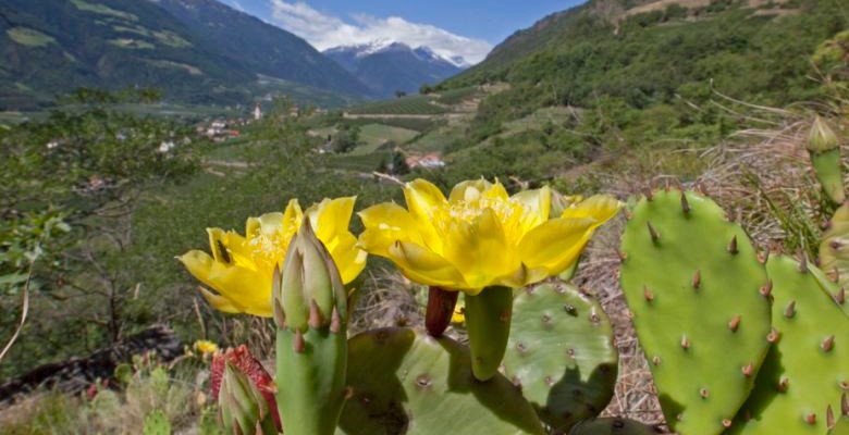
June to August
Long days, warm temperatures and cool alpine huts as a reward. Summer has everything for mountain bikers, road cyclists and leisure riders alike.
Discover tours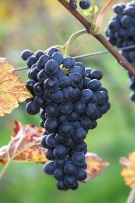
September to November
When the vineyards turn golden and the heat eases off, the cycle paths belong to the leisure riders again. Picture-perfect panoramas well into November.
Discover bike routesDiscover the cycle paths around Bolzano, Merano, in the Vinschgau and Passeier Valley. South Tyrol offers over 400 km of cycle paths for families and sports enthusiasts.
Our 4 recommendations for your vacation in the region
Mountain huts in Val Venosta, the Merano area and Passeier Valley. Reachable by e-bike or MTB and the perfect destination for a break with a panoramic view.
Vinschgau-Val Venosta
Watles - Mals-Malles
Vinschgau-Val Venosta
Latsch-Laces
Vinschgau-Val Venosta
Martell-Martello
Vinschgau-Val Venosta
Freiberg / Kastelbell-Castelbello
Vinschgau-Val Venosta
Langtaufers-Vallelunga

Vinschgau-Val Venosta
Mazia - Mals-Malles
Choose from a variety of rental bikes – whether mountain bikes, road bikes, or e-bikes, the bike rentals in the Merano area have the right bike for every tour in the region.
The cycling season in Merano starts as early as mid-February, much earlier than in other Alpine regions. Thanks to the mild climate in the sheltered Merano valley, cycling is possible from mid-February to mid-November without restrictions.
Yes. A day ticket for bike transportation costs around €7 and is valid on all regional trains in South Tyrol, including the Vinschgau railway from Merano to Mals. Simply ride in one direction and take the train back.
The offer is extensive: bike rentals are available in almost all villages and at almost every station along the Vinschgau railway (Merano, Naturns, Latsch, Spondinig, Schlanders, Mals). Mountain bikes, e-bikes, trekking bikes and children's bikes are available.
The most famous routes are the Adige Cycle Path (Merano to Bolzano, 55 km), the Vinschgau Cycle Path (Reschen to Merano, 86 km), the Passeier Valley Cycle Path (Merano to St. Leonhard, 20 km) and the Via Claudia Augusta. There are also over 100 mountain bike tours for all skill levels.
Yes, several routes in the region are ideal for families: the Adige Cycle Path and the Vinschgau Cycle Path are largely flat and paved. For young children, there is even a dedicated practice area for learning to cycle in Algund.