Lupo Trail
Tschars - Tabland - Naturns
| Length: | ca. 5 km |
|---|---|
| Altitude: | ca. 730 m |
| Difficulty: | easy |
Parkmöglichkeiten
Unterhalb des Parkplatzes Schartegg befindet sich der Startpunkt des Lupo-Trails. Hier können Sie Ihr Fahrzeug bequem abstellen und sich auf den bevorstehenden Ausflug vorbereiten.
Streckenverlauf
Der Lupo-Trail beginnt unterhalb des Parkplatzes Schartegg und teilt sich die ersten Abschnitte mit dem Fontana-Trail. Er wird als technisch einfacher Waldboden-Trail (S1) klassifiziert und führt vom Tscharser Nörderberg nach Tabland.
Zwischeneinstiege
Wie sein Gegenstück, der Fontana-Trail, bietet auch der Lupo-Trail verschiedene Zwischeneinstiege an. Dies ermöglicht es den Fahrern, die Route nach ihren Fähigkeiten und Vorlieben anzupassen.
Schlussabschnitt
Der Trail ist mit losen Steinen übersät, was technische Fertigkeiten erfordert, aber dennoch flüssig zu fahren und auch für Anfänger geeignet ist. Achtung ist an den Straßenkreuzungen geboten! Nach einer Fahrt durch den Wald auf einer Länge von 4,5 Kilometern müssen Sie im unteren Bereich noch einmal kräftig in die Bremsen greifen, bevor Sie die Ziellinie bei Tabland erreichen, die sich nach einem Abstieg von 730 Höhenmetern befindet.
Der Lupo-Trail bietet eine ausgezeichnete Möglichkeit, die atemberaubende Natur Südtirols zu erleben, unabhängig von Ihrem fahrerischen Können.
Lupo Trail - Map [-]
Elevation profile

Video
Cycling tours in South Tyrol
Mountains, wine, and pedal power! Where else can you work up such an elegant sweat while being surrounded by breathtaking Alpine panoramas? Cycling between apple strudel and grappa. Ready, Set, Pedal! South Tyrol awaits you.
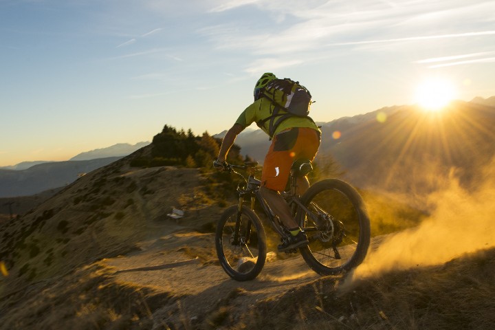
MTB tours
The number of MTB trails and the ongoing bike season make Merano a MTB paradise.
Open MTB tours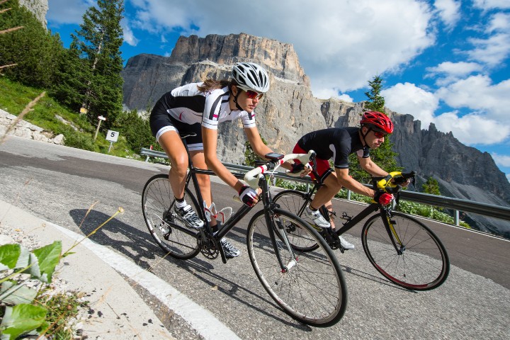
Roadbike tours
Numerous mountain passes attract road cyclists to South Tyrol. The most beautiful Alpine passes provide endless metres of altitude.
Open Road Bike Tours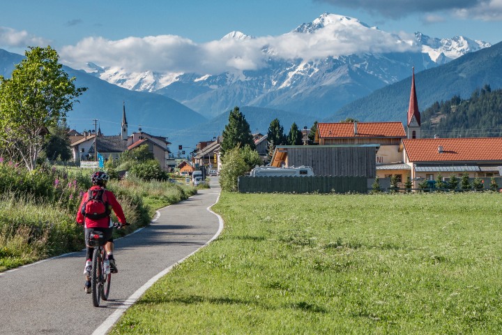
Enjoyment tours
More moderate cyclists enjoy the fantastically beautiful landscape in South Tyrol on leisurely bike tours.
Open tours