Bolzano city map
The city map helps to reach sights such as the Piazza Walther or the Cablecar to Ritten, as well as neighbouring places such as Jenesien.
The map is available here as download (~ 490 KB) and is thus always handy on your smartphone - even offline.
The print version of the map can be picked up at the information office in Bolzano.
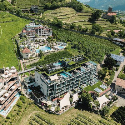
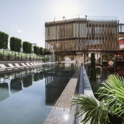
Vacation in South Tyrol
Bike routes
Discover the cycle paths around Bolzano, Merano, in the Vinschgau and Passeier Valley. South Tyrol offers over 400 km of cycle paths for families and sports enthusiasts.
Vinschgau-Val Venosta: Reschen to Merano
One of the most beautiful and diversified bike paths in the Alpine region.
DetailsEtschtal: Merano to Bolzano
The Apple Cycle Path connects Meran and Bozen with almost no incline.
DetailsPasseier Valley
The bike path winds its way into the Passeiertal valley on a gentle gravel trail, passing through orchards, vineyards, and a golf course, before continuing through meadows to St. Leonhard.
Details